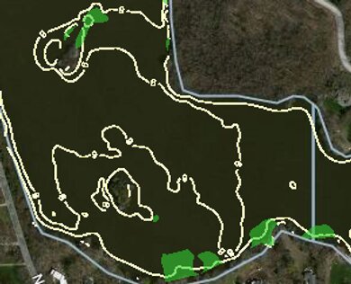
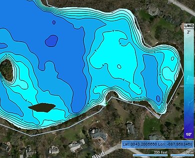
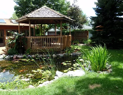
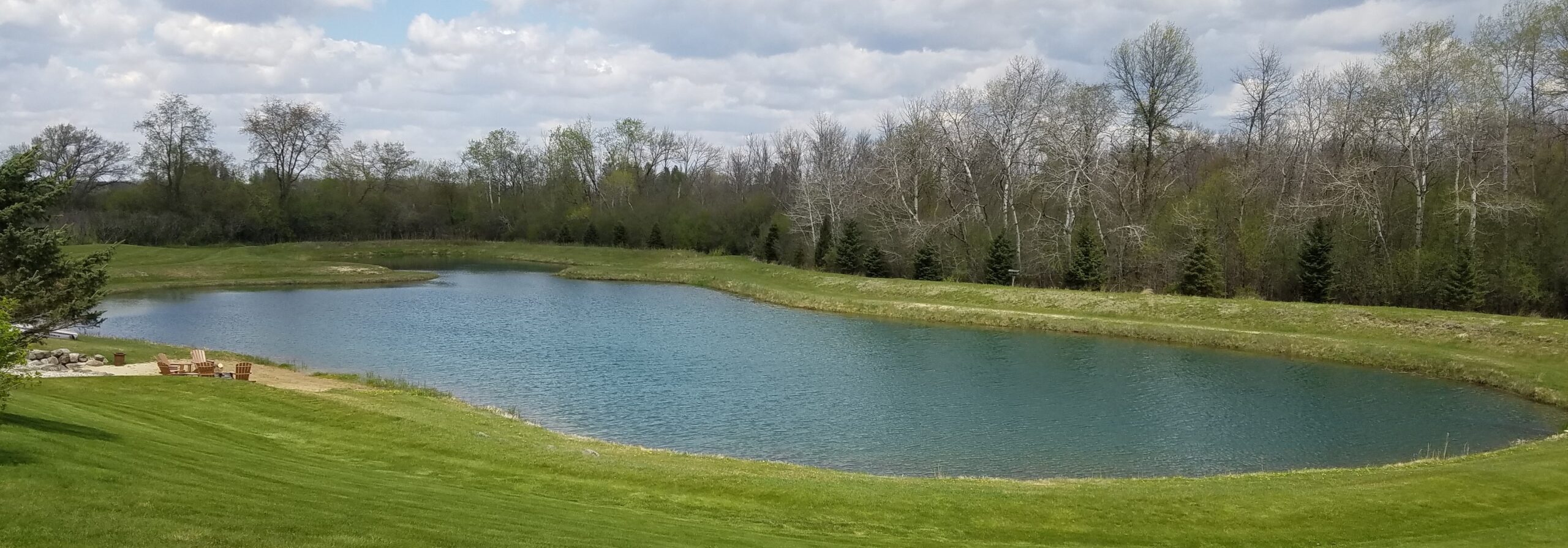
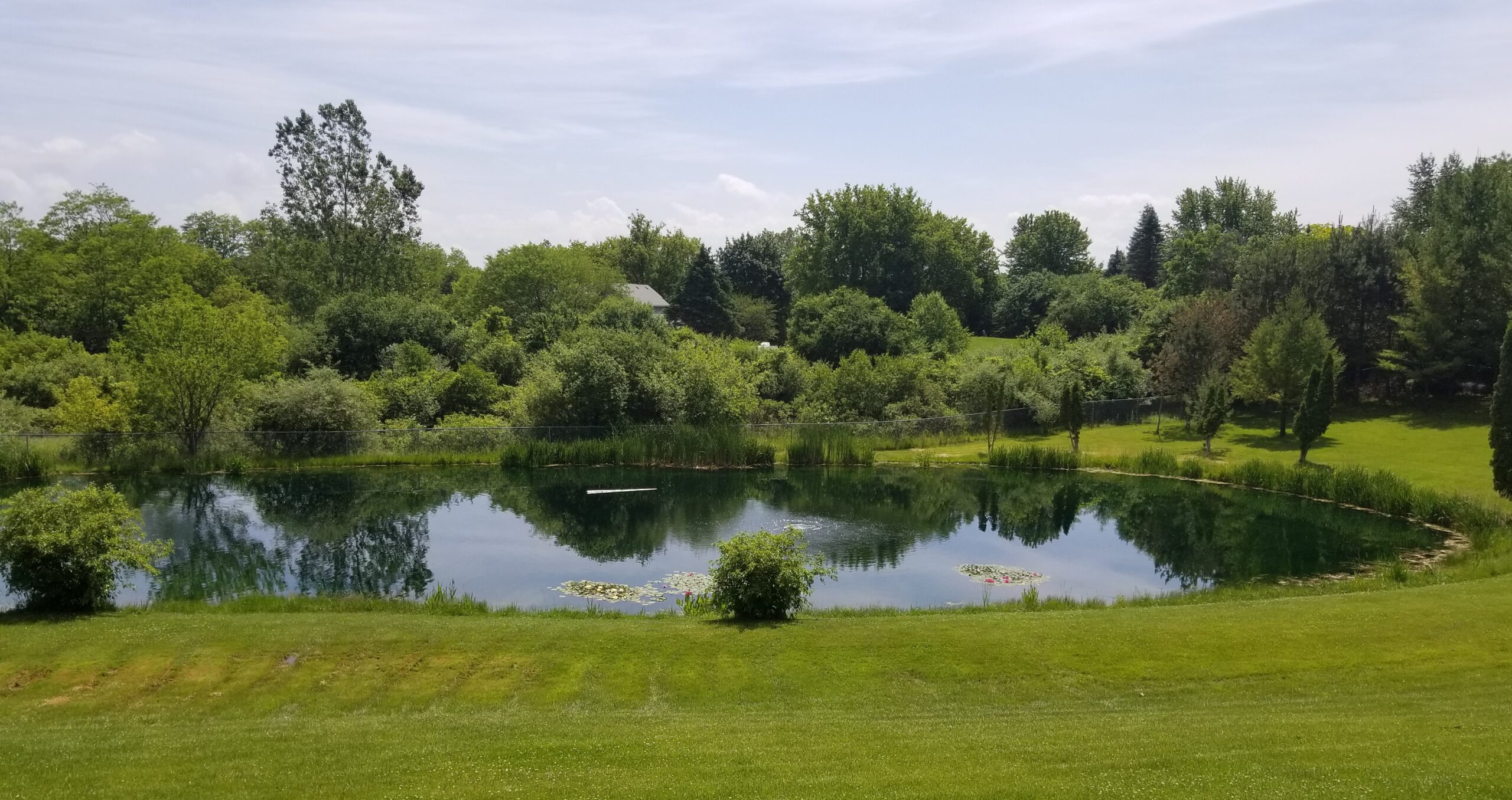
Lake mapping is a valuable tool for determining what’s below the surface in your pond and lake. These services we offer can help determine structure, plant communities, depth, and sediment type. Using unique equipment, we provide customers the overall size, volume, and bottom contour of your pond in order to make good management decisions. This knowledge is beneficial for making good management decisions. It’s also valuable for improving a fishery. Please see our fisheries management page for more information.Lake Mapping involves the following:
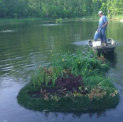
Aquatic Vegetation Mapping
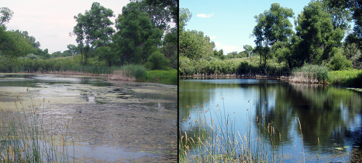
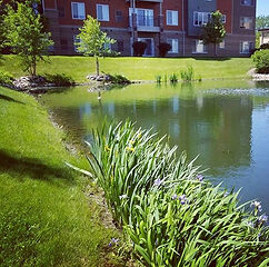
Our technology allows us to determine the density and areas of submerged weeds. Understanding what is not visible to the naked eye expands our ability to manage. The mapped areas can be focused on more efficiently for management of invasives, plan for treatments, and strategize fish habitat enhancements.
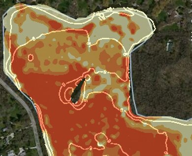
Mapping organic soft sediment levels can be helpful in lake and pond management. Sediment mapping can show target nutrient load areas, inflow areas or potential future invasive weed areas. Understanding where and how much sediment has accumulated allows lake and pond managers to target problem areas.


